New detailed wetland mapping tools now available in Quebec
Accessible information improves conservation
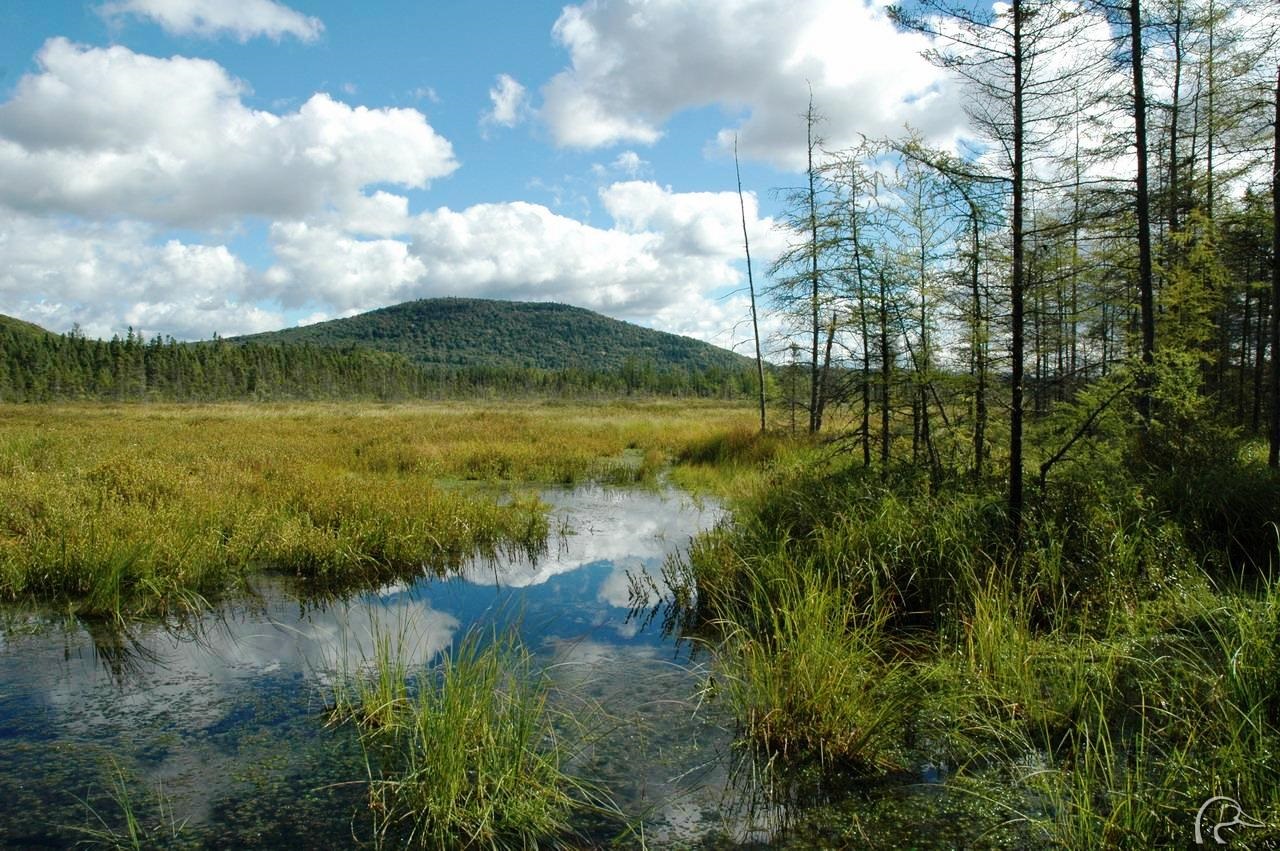
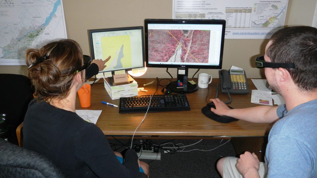
DUC and its partners have released a set of geomatic tools based on the detailed wetland mapping initiative for the settled areas southern Quebec. This wetland inventory will help all stakeholders understand wetland conservation issues and better meet current and future conservation challenges.
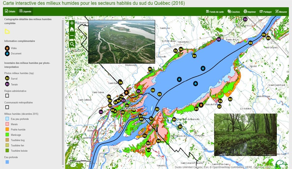
Now available online (French only), this database provides accurate and current data on the location, classification and state of wetlands in southern Quebec. Wetlands can be easily identified with these mapping tools so that governments, municipal planners, developers, farmers, foresters and the public in general are now equipped with valuable data to help make informed decisions about various land-use planning and conservation activities.
Before DUC started the mapping project in 2009, many stakeholders had identified a need for more comprehensive wetland data due to continued wetland habitat loss and development pressure. Since then, DUC has mapped wetlands in 90 per cent of the St. Lawrence Lowlands. The database will be a critical tool to enforce the forthcoming Act on Wetland Conservation and Sustainable Management, to be enacted in spring 2017.
As of today, more than 60 partners have contributed to the initiative, including federal, provincial and municipal governments, watershed and environmental organizations, private businesses and individual donors. The Quebec Department of Sustainable Development, Environmental and Climatic Change Control Department (DSDECCC) is a major partner, contributing roughly one million dollars since the project began. The DSDECCC has also developed, with DUC, the mapping methodology used to create reliable and standardized wetland inventory data. As a major sponsor, TransCanada Corporation has contributed to the height of $675,000 over the past three years as part of their environmental protection program. Their financial contribution was mostly used to make the wetland information available to all through this set of geomatic tools.
“I am very proud of what we have accomplished,” says Bernard Filion, manager of provincial operations for DUC in Quebec. “This is great news for current and future generations, as we must develop today an enlightened vision for our landscapes in 25, or even 50 years from now,” continues Filion. “In this respect, this universally accessible wetland data is critical for decision‑making, long-term planning and monitoring purposes. I wish to extend our deepest appreciation to all the photo-interpreters, field teams and partners for their valuable contributions to this wetland mapping initiative. You have helped us develop a reliable and credible source of wetland information for everyone.”

Outdoor classrooms unlock the wonders of wetlands
School field trips connect Alberta youngsters to nature.
New Habitat on the Old River Farm
A partnership on the Thames River is part of a green infrastructure awakening.