High flying research
Aerial surveys today could influence what Canada's boreal forest looks like in the future
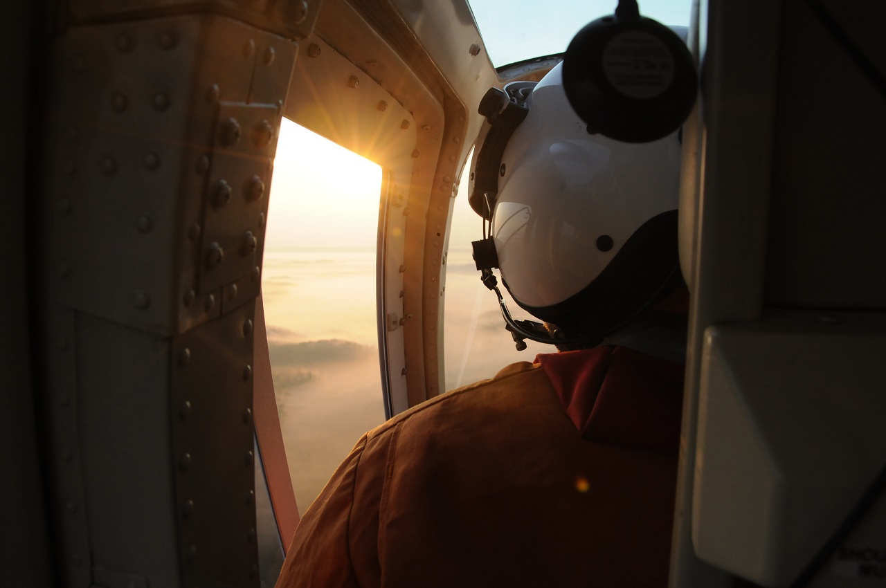
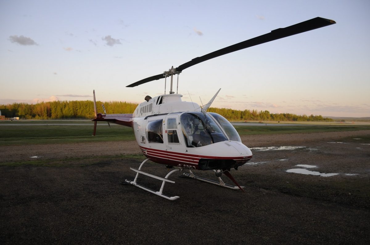
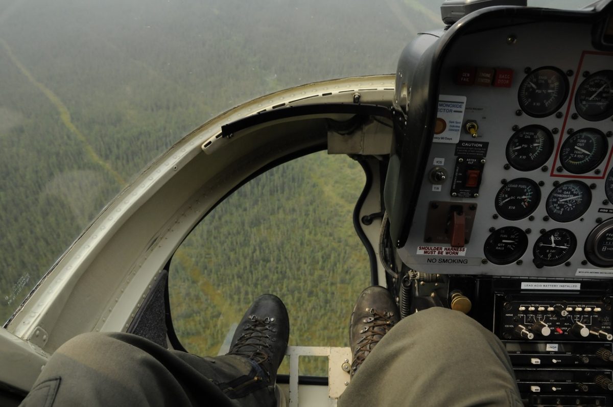
It’s 5:30 a.m. when Howard Singer boards the Bell 206 Jet Ranger that waits for him at a remote landing pad. Dressed in a bright, flame resistant jumpsuit, Singer climbs into the seat next to the pilot.
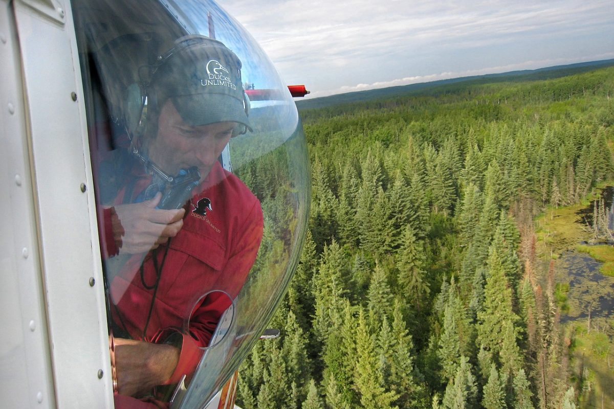
Singer’s a research biologist with DUC. Over the past two summers, he’s spent weeks at a time conducting aerial surveys in northern Alberta.
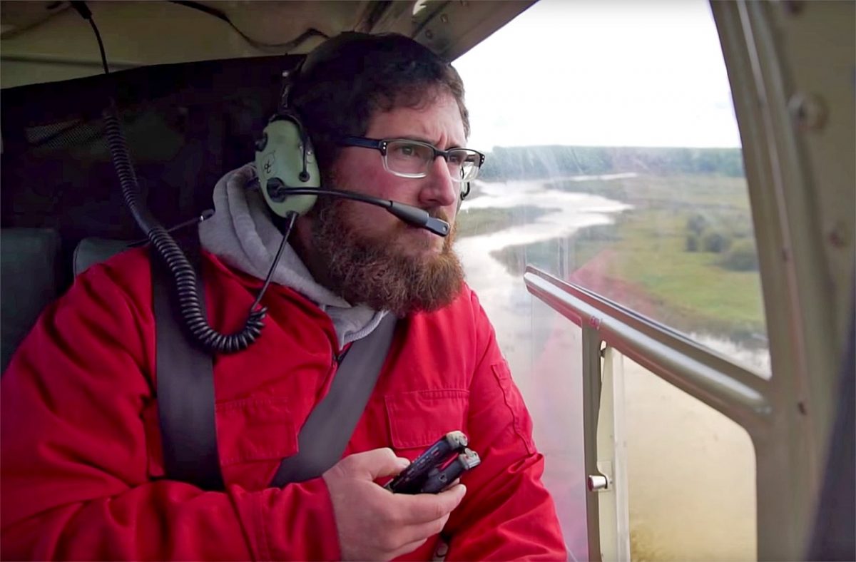
As he begins to prepare for the morning ahead, he’s joined in the aircraft by a second surveyor, who sits behind him.
Over the next few minutes, the pair sync stopwatches they wear around their necks, and power-up laptops balanced on their knees. The screens display a map of the current landscape. In their palms, they cradle audio recorders.
Preparations complete, the helicopter lifts off. Destination: Alberta’s boreal forest.
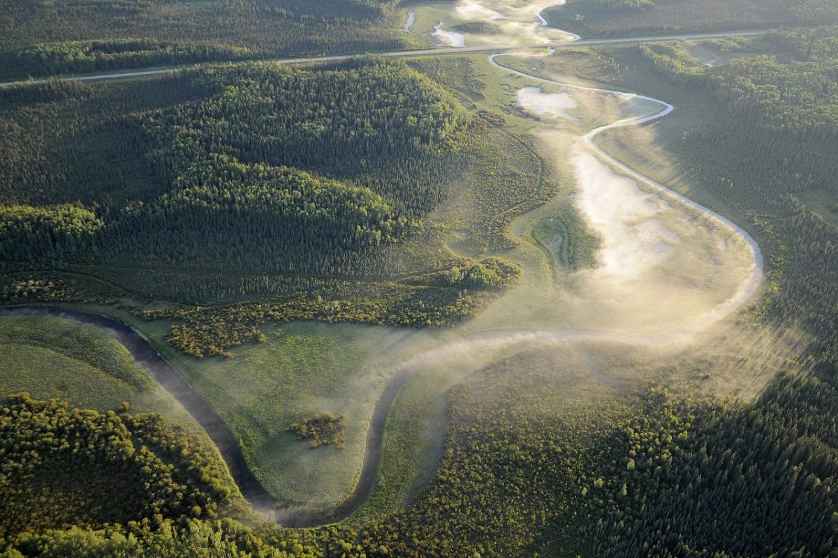
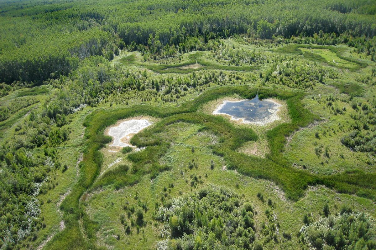
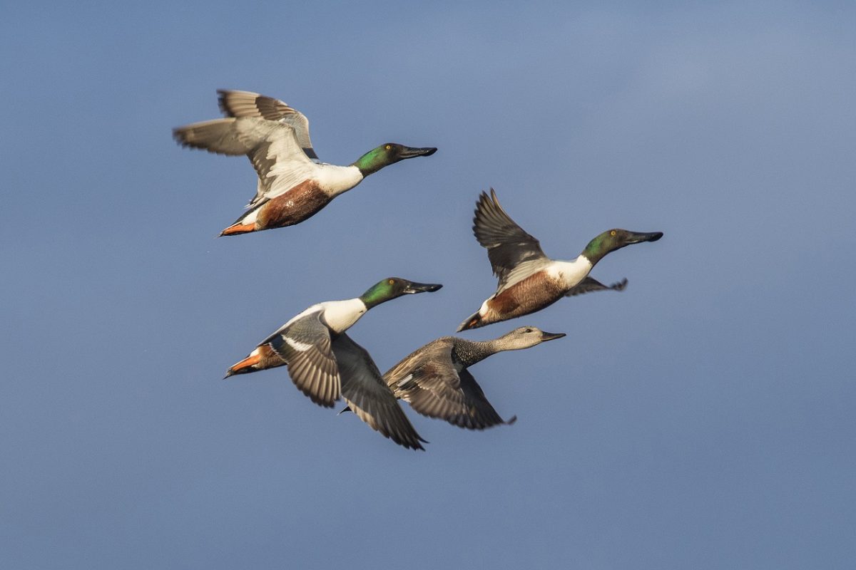
With its expansive wetlands and seemingly continuous forests, Canada’s boreal has captured the hearts and imaginations of Canadians from across the country. But Singer’s not here to marvel at the landscape below. He’s there to count waterfowl.
It’s grueling, rewarding work.
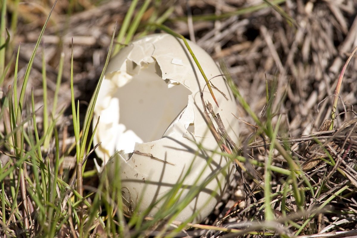
Often referred to as a bird nursery, the boreal forest provides important habitat to approximately 30 per cent of North America’s breeding ducks. But these 15 million waterfowl aren’t alone. They share the landscape with Industries like forestry, mining, oil and gas.
How these ducks and industry co-exist here is of special interest to DUC research scientist Stuart Slattery, who initiated a study on the subject in 2012.
Slattery and his team identified over 400 research plots in the boreal forest, with varying degrees of industrial change by roads, seismic lines, and pipelines.
By flying over these selected plots at specific times throughout the year and documenting the number, species, and age of waterfowl he sees, Singer and his secondary observer are amassing an important collection of data.
Once analyzed, this information will help DUC determine what (if any) impact these industrial changes have on waterfowl populations. And if researchers learn changes to the landscape do impact waterfowl numbers, the second question this research will begin to “tease out” is which changes have the greatest impact on waterfowl, says Slattery.
When it comes to answering this second question, two theories are being explored.
One suggests these changes alter wetland quality, which negatively impacts waterfowl food. But another hypothesis, that’s gaining momentum, suggests that industry built paths, like seismic lines and roads, are making it easier for predators to travel the landscape, and access duck nests.
“Gearing our conservation actions towards the most important industrial changes and how they impact ducks is key to DUC’s success in the boreal forest,” says Slattery.
In the air, the DUC surveyors hover over a wetland. A Bell 206 Jet Ranger can run for almost three hours before it needs refuelling. During a typical morning of surveys, the pilot will land to fill the helicopter’s tank two or three times.
At each fuel stop, Singer and the second surveyor switch roles. Now Singer’s seated in the back, listening to his colleague recite observations into his audio recorder. He focuses on catching anything the second surveyor may have missed.
Singer explains what it’s like to be here: 30 metres above ground, counting waterfowl.
“Things happen quickly in the helicopter. You don’t have time to process information, you need to know what you’re looking at,” he says, hinting at the part of aerial surveying that requires a high level of skill and knowledge.
Because what Singer observes today on this Canadian landscape could influence what it looks like in the future.

Outdoor classrooms unlock the wonders of wetlands
School field trips connect Alberta youngsters to nature.
New Habitat on the Old River Farm
A partnership on the Thames River is part of a green infrastructure awakening.