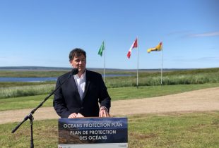
High-tech mapping in Newfoundland and Labrador
Developing GIS tools for conservation.

Imagine looking at a map that shows you not just the roads and topography of an area, but the size and types of wetlands there, and the types of vegetation growing in them.
This kind of souped-up GIS (geographic information system) isn’t just a fancy idea – it’s a real tool being developed by Dr. Bahram Salehi and his team at LOOKNorth, a Canadian Centre of Excellence for Commercialization and Research hosted by the Newfoundland-based research and development corporation, C-CORE.
Knowing the location and type of wetlands across a region is a key part of conservation. We can’t protect what we don’t know exists. Newfoundland and Labrador is currently the only province in Atlantic Canada without a provincial wetland map, but thanks to LOOKNorth’s new map tool, it soon may have one of the most state-of-the-art.
“Before we can guide wetland conservation decisions, it’s important to understand how many wetlands exist and where they are,” says Adam Campbell, head of Atlantic conservation programs with Ducks Unlimited Canada (DUC). “This map will also help find unique wetlands worthy of additional protection.”
DUC is partnering with LOOKNorth on the project, along with the Government of Newfoundland and Labrador, Research and Development Corporation of Newfoundland and Labrador, Environment Canada and the Canadian Centre for Mapping and Earth Observation.
Creating maps for the entire province won’t be a quick or easy task. Newfoundland and Labrador comprises more than 400,000 square kilometres. Mapping every inch of that will take years, so LOOKNorth, DUC and the province are taking it one step at a time.
Together they’ve chosen five high-priority wetland test sites (one in Labrador and four in Newfoundland), each representing a different type of habitat. DUC and provincial staff will head out to each site to collect field data – plant and soil samples, for example. Salehi and his team will compare the physical data with the four-layer maps to make sure what the maps are telling them is correct.
The entire pilot process will take three years, and even that depends on how many days of cloud cover the region gets because optical satellites can’t record what their cameras can’t see. What’s for sure, though, is that these maps represent an important step in wetland conservation for Newfoundland and Labrador.
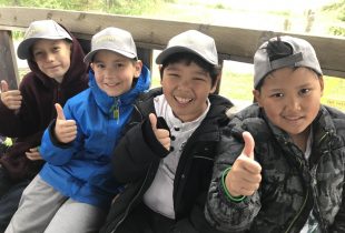
Outdoor classrooms unlock the wonders of wetlands
School field trips connect Alberta youngsters to nature.
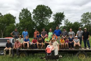
New Habitat on the Old River Farm
A partnership on the Thames River is part of a green infrastructure awakening.